Welcome to the Iowa Low Altitude Remote Sensing Lab
University of Northern Iowa - Department of Geography
Developing Innovative Low Altitude Remote Sensing Strategies for Environmental Applications
What We Do
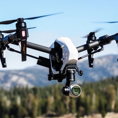
The Low Altitude Remote Sensing Lab (LARS) joins efforts of faculty and students who collect, process, and analyze very-high-resolution imagery acquired by unmanned aerial systems (UAS), or drones, flying at low altitudes. The UAS are used to conduct a studies for photogrammetric (3D) mapping, image processing technique improvement and validation, and a variety of environmental and agriculture applications.