
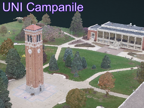
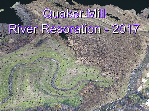
3D Point Clouds
Click the images below to view the 3D point cloud data sets.

3D viewer provided by Potree (http://potree.org)
The viewer will open in a new tab/window, to navigate use: Left-click to Rotate | Right-Click to Move | Scroll to Zoom
The data displayed are 3D point clouds, which are made up of hundreds of thousands of individual 3D data points. The points are measure via one of two main methods:- The points are measured from multiple overlapping photographs of the site in a process called Structure-from-Motion Multi-view Stereo (SfM-MVS) photogrammetry. The colors from the photographs are mapping onto the points to give them their “natural color".
- Another way to get these 3D data are with an airborne laser scanning. This technique is called LiDAR, light detection and ranging, and uses a large laser mounted in an airplane. The laser sweeps pulses of light back and forth as the plane flies forward, and the distance is measured by the time is takes each pulse of light to reach the ground and return to the plane.
| Browser | OS | Result |
|---|---|---|
| Chrome | Win7 | works |
| Firefox | Win7 & Mac | works |
| Internet Explorer | Win7 | not supported |
| Chrome | Android | works |
| Safari | iOS | mostly supported |